Products
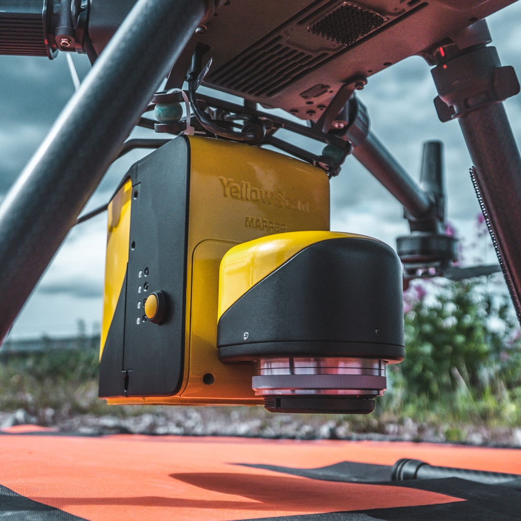
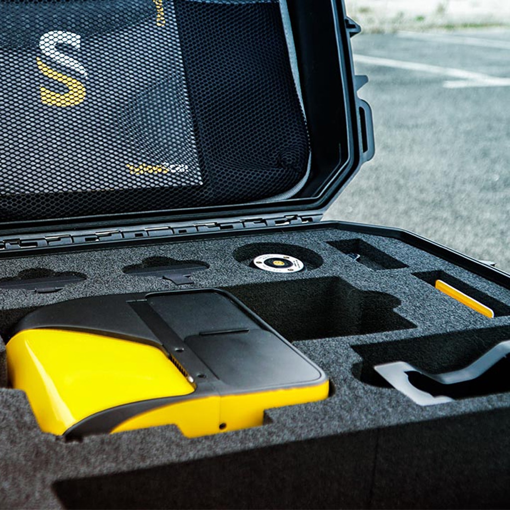
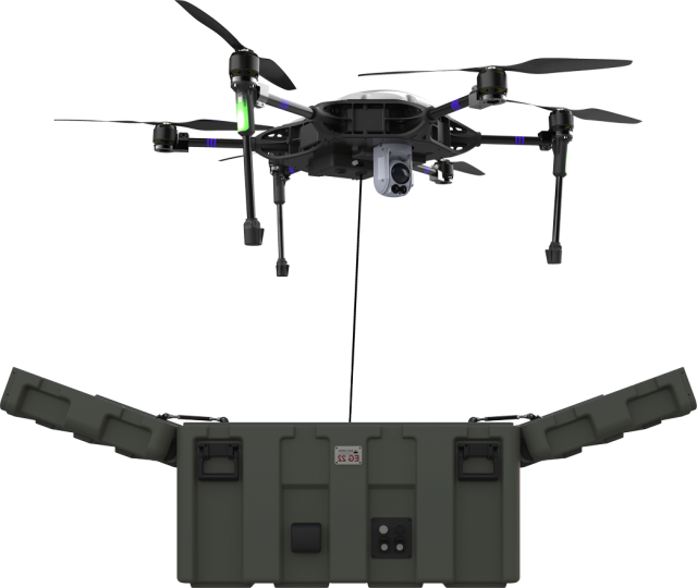
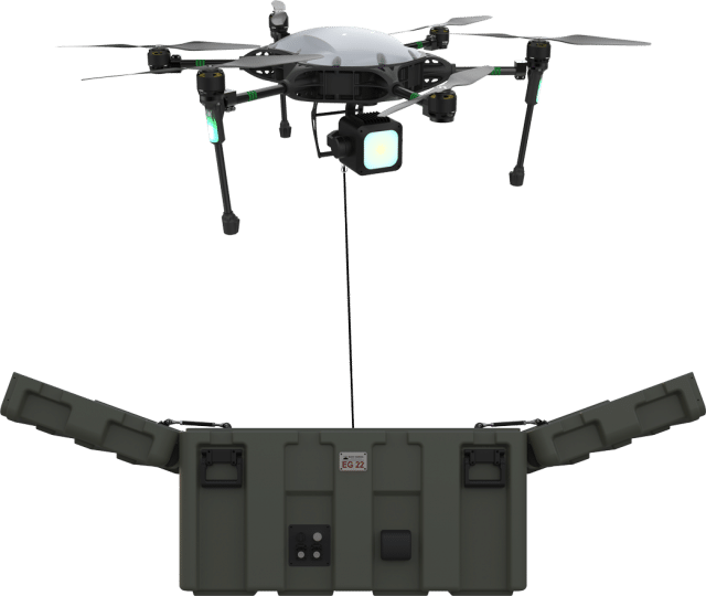
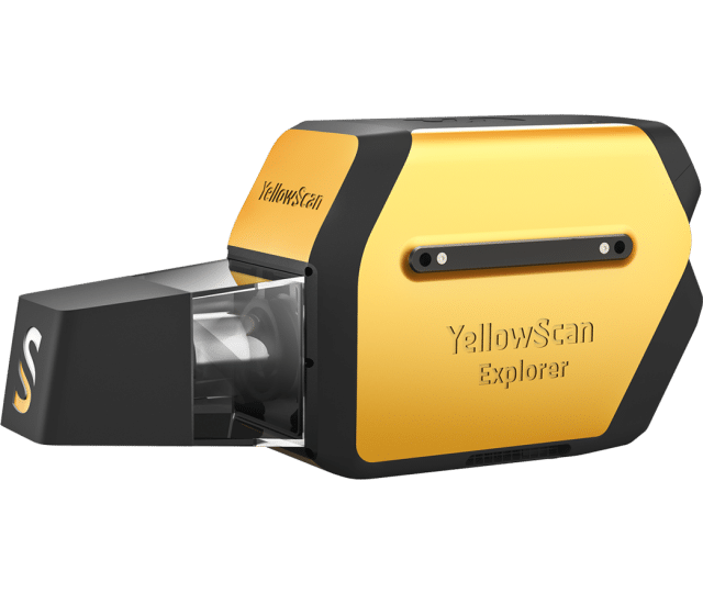
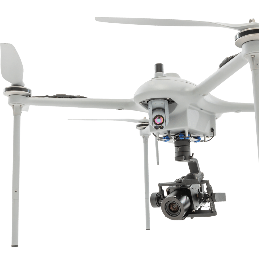
UAV LiDAR system
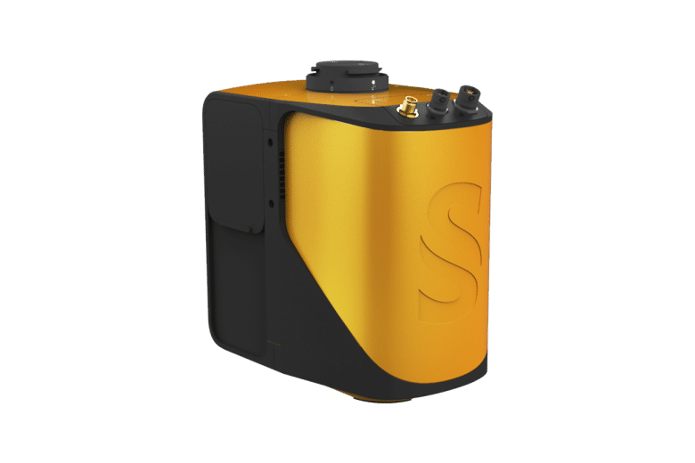
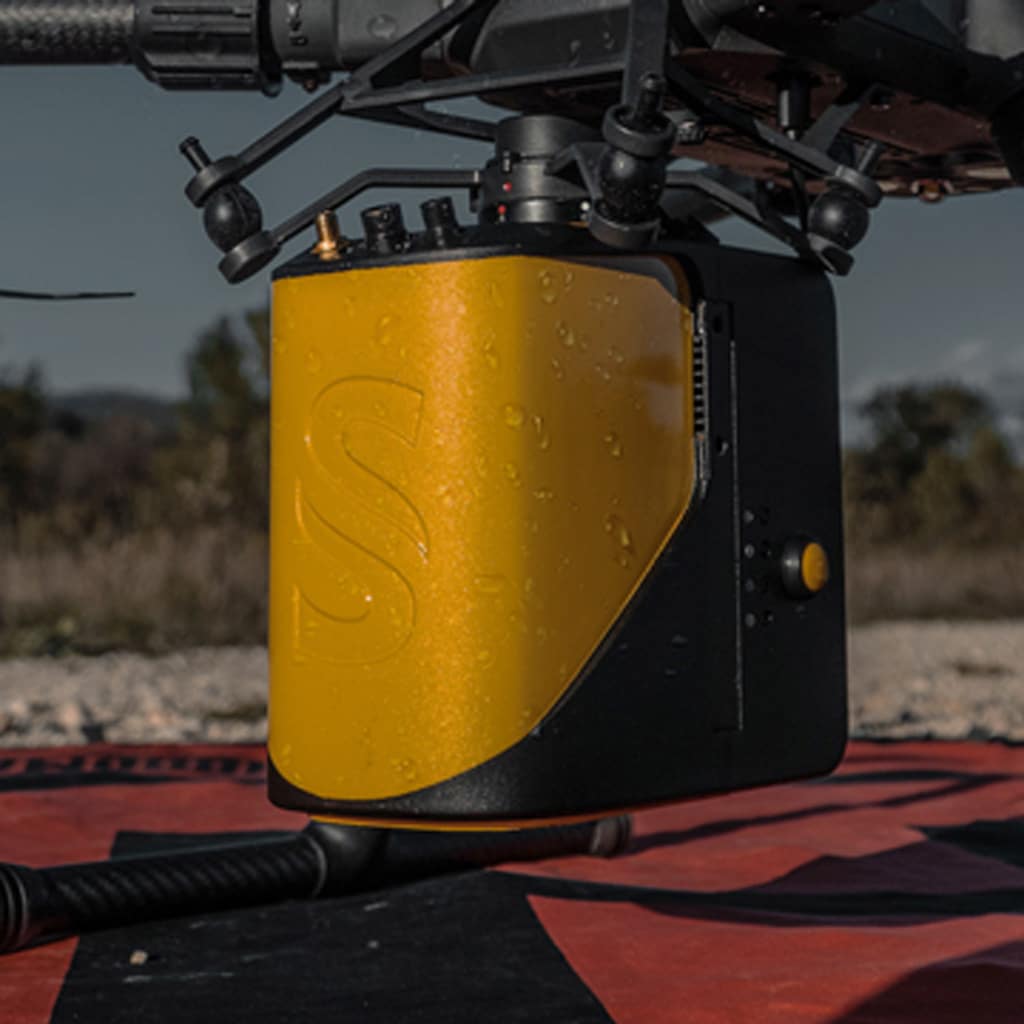
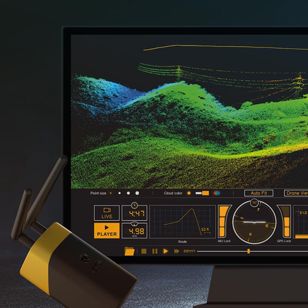
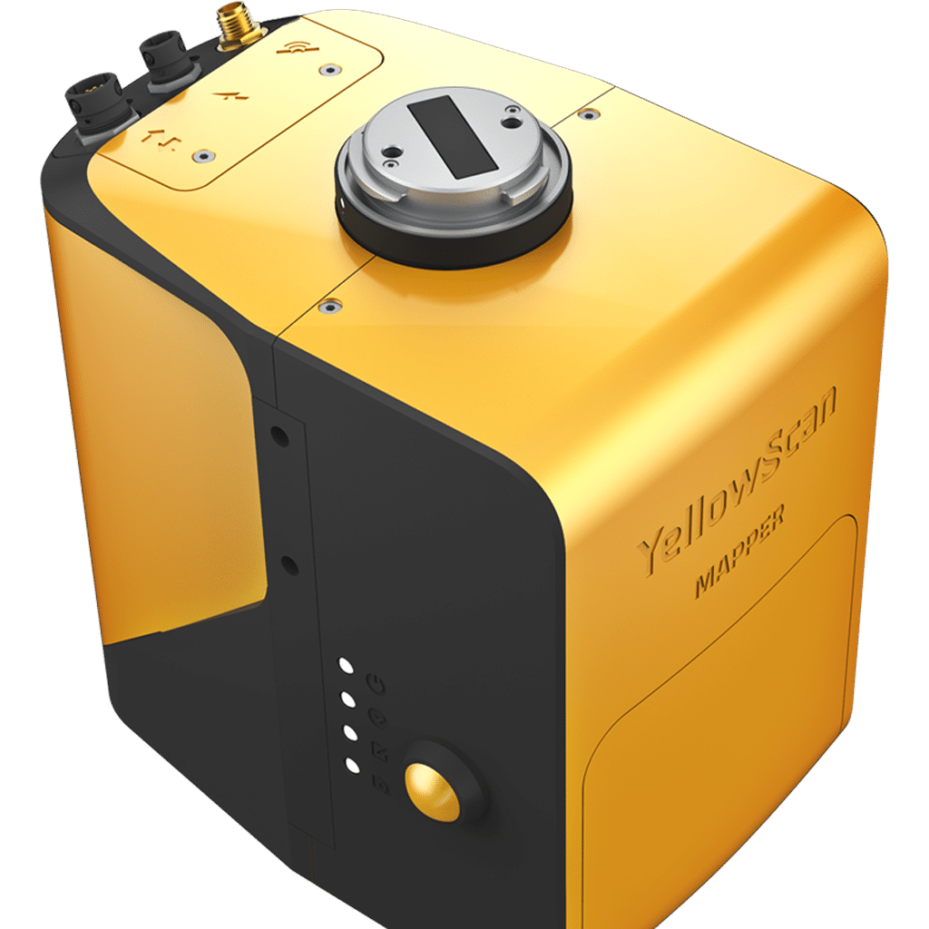
YellowScan Mapper
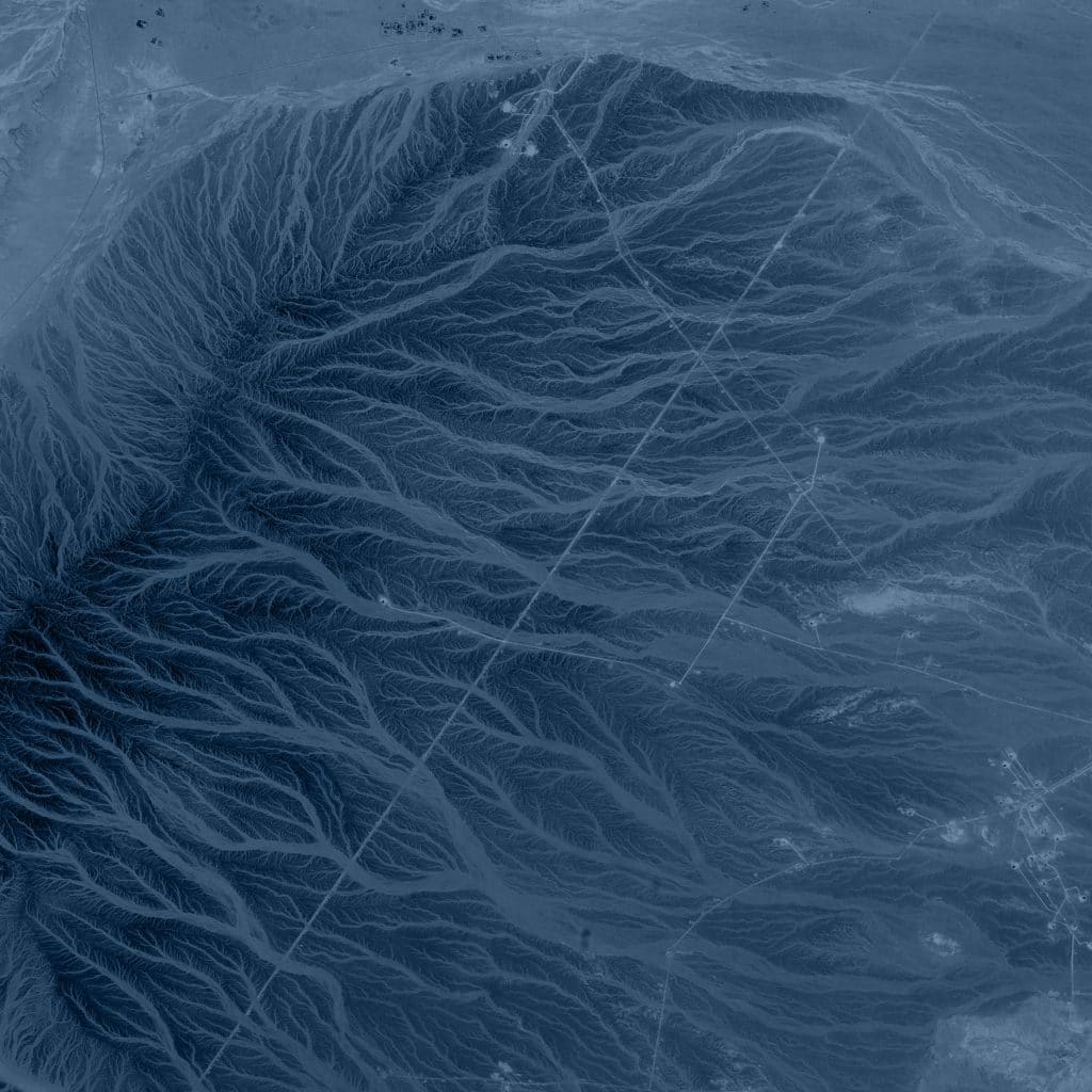
The next-generation of integrated UAV LiDAR solutions. With Livox technology, YellowScan sets new standards for UAV LiDAR mapping.