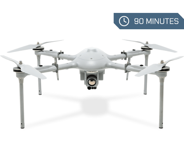
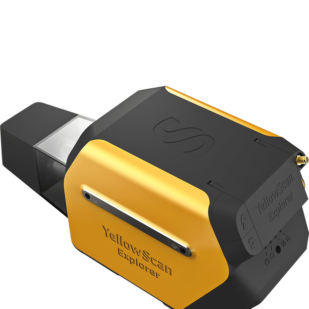
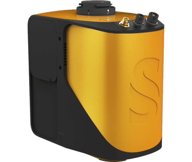
Altitude
Products

UAV [Long-Range] LiDAR system
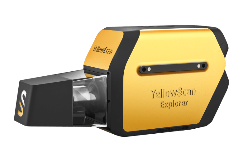
YellowScan Explorer

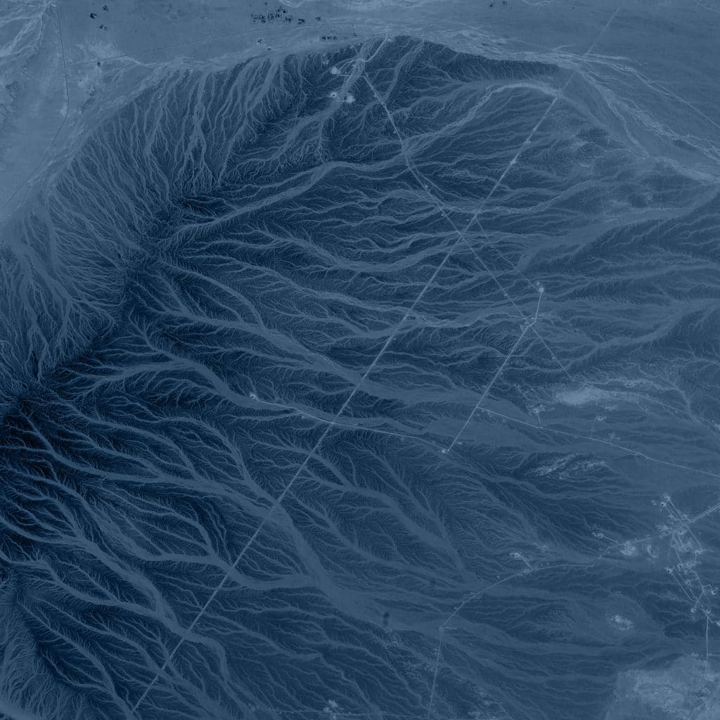
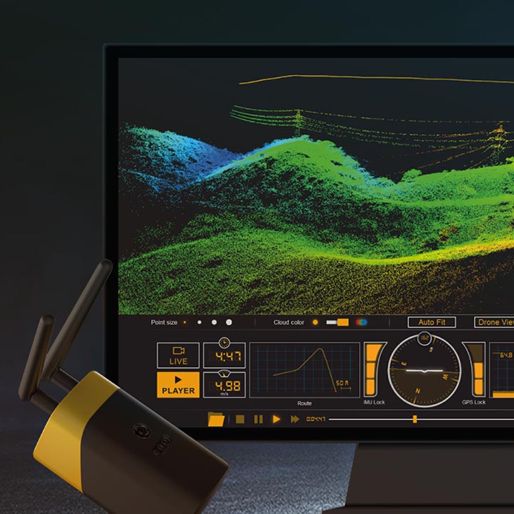
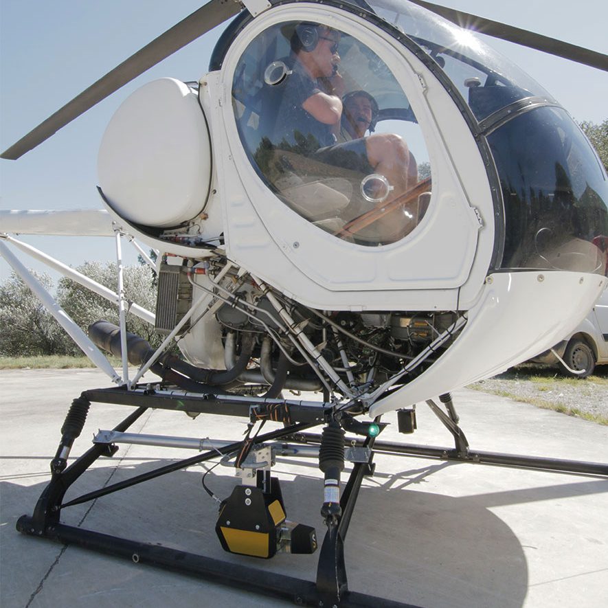
The next-generation of integrated UAV LiDAR systems, a long-range & multi-platform LiDAR solution offering more system accuracy at much higher altitudes.

YellowScan Explorer LiDAR system

YellowScan is committed to delivering the highest level of performance, reliability, and robustness for our solutions. Fully integrated, ultra-light, and easy to use, these highly automated data collection tools are employed by customers around the world in surveying, forestry, environmental research, archeology, industrial inspection, civil engineering, and mining.

LiDAR

Aerial LiDAR tool

Longest range for efficiency
High point density
Advanced accuracy and precision
Turn-key and simple to operate
YellowScan’s Explorer is lightweight, fully integrated with embedded batteries, and designed to meet 3D mapping high precision and accuracy needs.

With more than 10 years of experience,
YellowScan’s platforms are field-tested all over the world in multiple environments (tropical forests, bare soils, mountains, rivers, coastlines, open-pit mines, power lines).

01
Co-developped Laser Scanner
02
Applanix APX-20 IMU
03
High-performance GNSS antenna
04
External or self-powered
05
90min. autonomy - external battery
06
Low-weight, professional solution

Long-range UAV LiDAR system

The Explorer is the fruit of several years of research and learning that YellowScan has gathered working with their customers and partners around the world.

YellowScan’s objective with Explorer, like all of their hardware platforms, is to offer the market a solution that strikes the right balance between size, range, accuracy, and weight. Designed to be mounted on fixed-wing UAV, multirotor UAV, and manned aircraft (light plane and helicopter) Explorer can enable a large variety of mission profiles.

Combined with 1-year unlimited technical support and training, our users will be ready to take full advantage of Explorer’s functionality and successfully complete their surveying projects.

YellowScan Explorer Performance


AGL altitude Precision Accuracy

300m

(985ft)

2.3cm

(1″)

2.2cm

(0.8″)


YellowScan LiveStation

Don’t miss anything before going back to the office with Live Data transmission.

In-flight LiDAR Data transmission is enabled by a dedicated port. The YellowScan Mapper is compatible with the LiveStation, allowing live visualization of LiDAR data collection. Your mission can only be a success.

Versatile LiDAR

The new YellowScan Explorer can be mounted on a light manned aircraft or switched to different types of UAV platforms.

The YellowScan Explorer is the first LiDAR that can be mounted on a light manned aircraft or helicopter and be switched to a UAV platform like the Martlet MI-3. This versatility allows the end-user to tackle a wide range of projects with the proven ease of use of YellowScan’s UAV LiDAR solutions.

Compatible with

Simple and Efficient

Survey productivity matters.

No need to connect a computer to the LiDAR system to gather data. Just remove the USB stick from the system and go to your computer. As you receive two USBs, this helps you land and take-off again straight away thanks to the second USB stick. One USB stick can store LiDAR data from a 6 hour-survey.

No overheating LiDAR system

YellowScan optimized the temperature management with a double suction grid (airflow management) for better aeration of the system. You can operate the Mapper between -20°C/-4°F and +40°C/140°F.

Human-Machine Interface

The Human-Machine Interface features LEDs that indicate the LiDAR system’s status and a simple but effective single button operation.

For more detailed specifications
please request the YellowScan Explorer datasheet

More industrial payloads

Request a demo or quote

  • This field is for validation purposes and should be left unchanged.

Gijsbert [GB] Thijsen

Tech Consultant