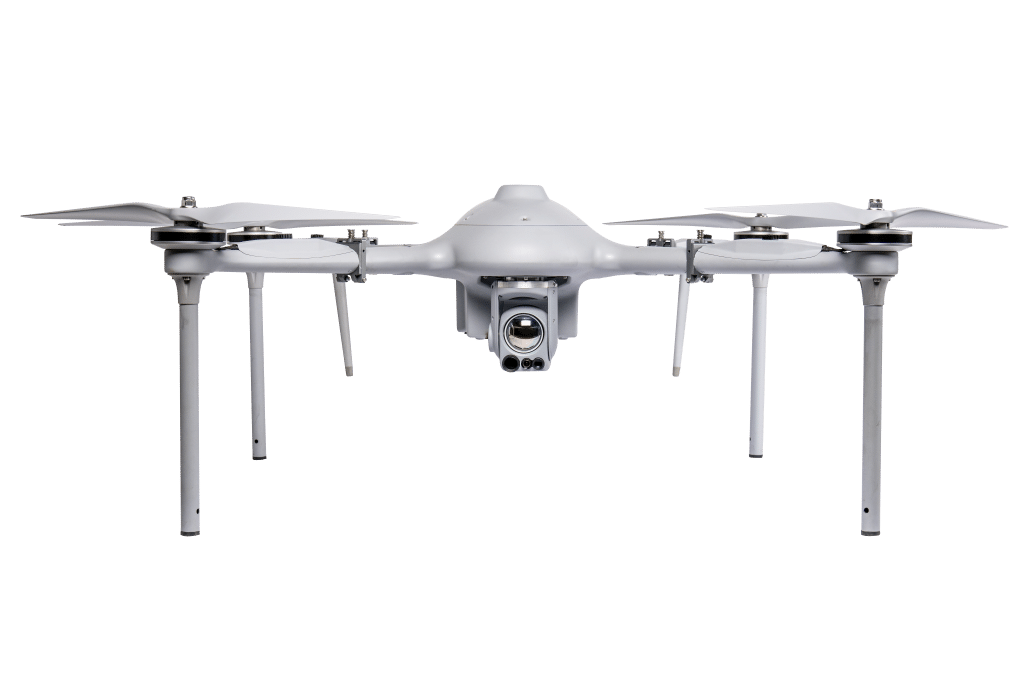
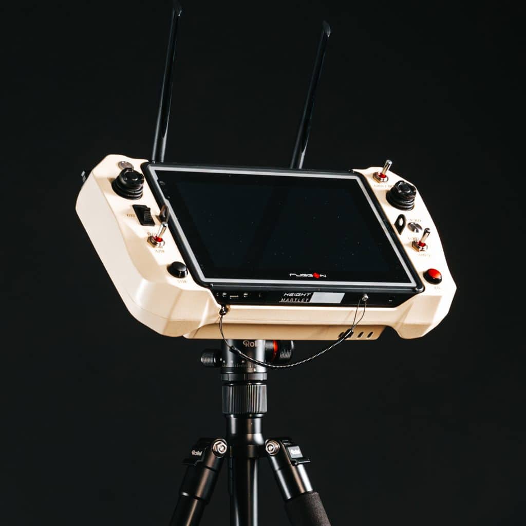
The main advantage of a tactical drone is gathering useful information from an aerial perspective in the most demanding environments. Surveillance, target acquisition, and reconnaissance (ISTAR) are methods of obtaining this information. Obtaining the right information at the right time enhances situational awareness for those who need it the most. Operating the UAS as autonomous drone systems can also increase operational readiness for the boots on the ground.
On this page, we will go over the unique aspects of the Unmanned Aerial Systems (UAS) within our Martlet ISR systems for tactical ISR operations and how these systems contribute to the current war effort. Covertness, endurance, and intelligence will be our main focus to describe the concept of tactical drones through the eye of the Martlet tactical ISR systems.
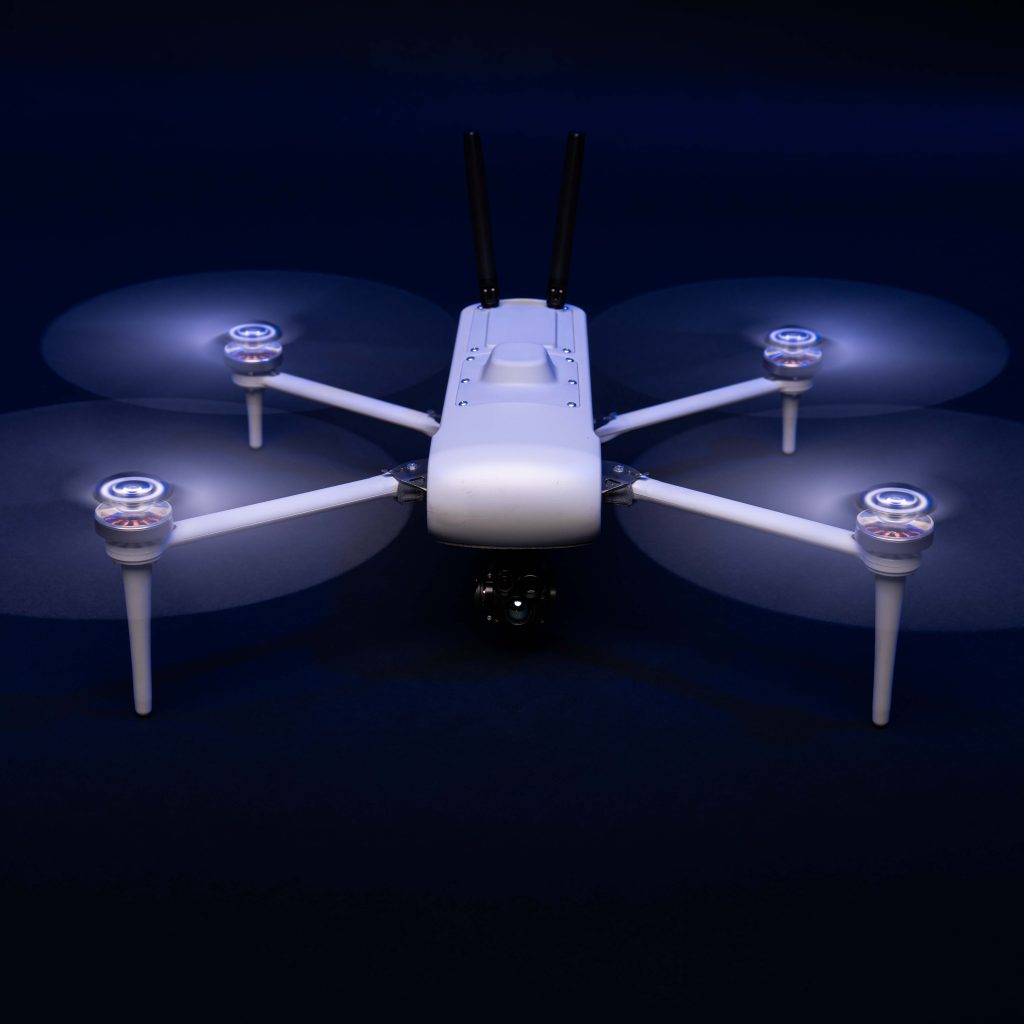
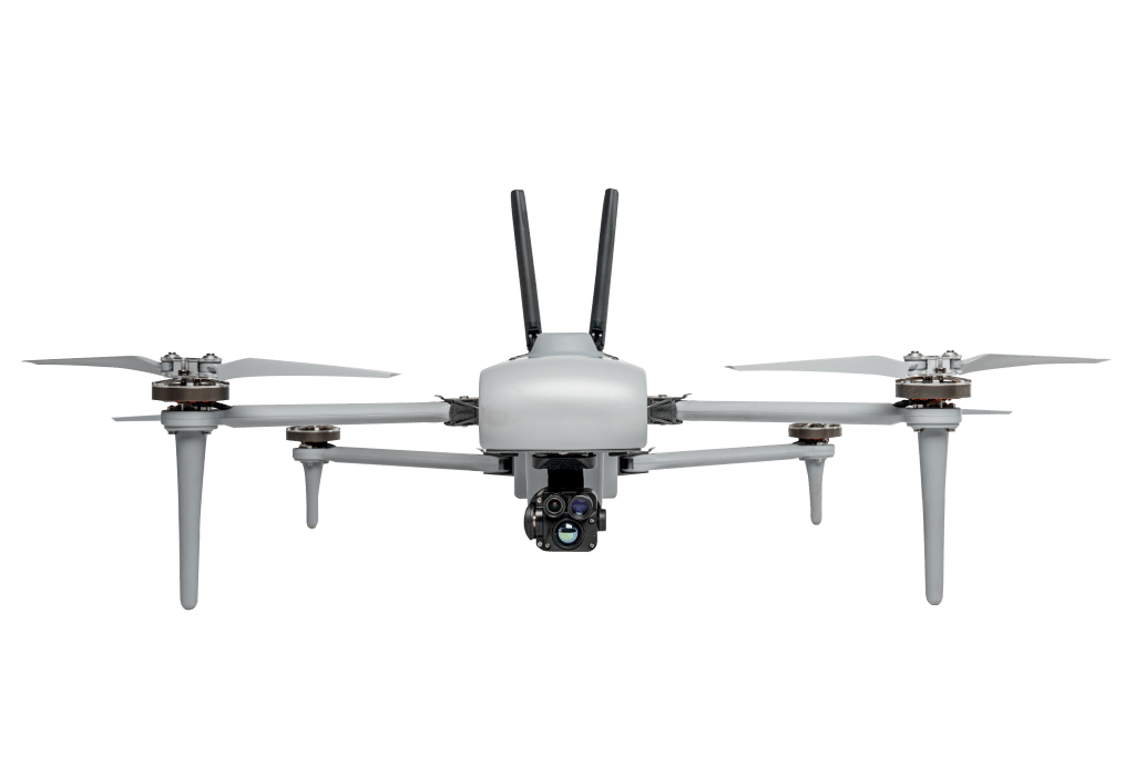
The Mi-1 is a foldable version from our Martlet Series, fulfilling our client's needs for a more portable ISR drone.
Developed for Defense and Security clients with field-proven, autonomous, and unmatched performance.
Get the most payload capacity and flight time with the portability and reliability of a military-grade multirotor.
To qualify a drone as a tactical drone, it needs to have sufficient endurance, range, and camera optics for ISR missions.
With endurance, we mean flight time. The endurance of a UAV will depend on numerous variables. For multi-rotors, it mainly comes down to a power to weight ratio: how much power is the UAV system able to output versus the weight of the total system (including the payload). The aerodynamics of the frame, the flight characteristics, and the power consumption of different components are also important factors.
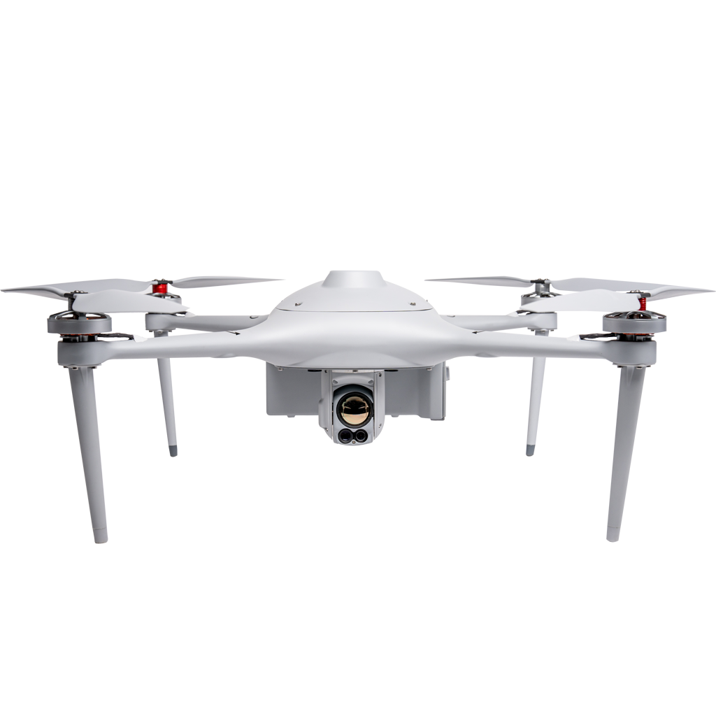
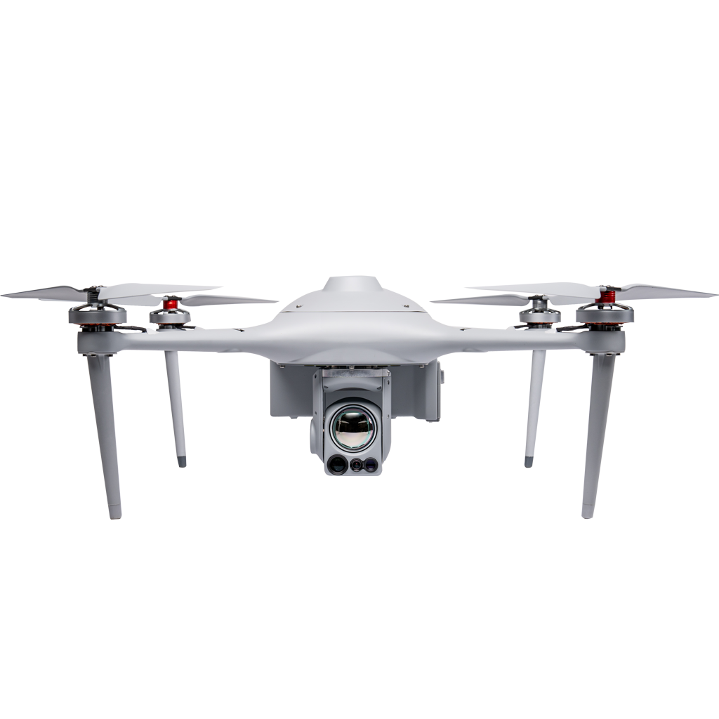
MARTLET TACTICAL ISR DRONES
The Martlet is a mythical bird without feet. This bird always holds itself in the air and according to the myth, never touches the ground to land. Our ISR drone systems do have to come down for a landing, but they have an outstanding endurance for their class. The frame and propellers of the Martlet systems are all built with aviation-grade carbon composite, kevlar, and glass fiber materials – because every 1% counts.
The range is dependent on the actual hardware and software of the datalink (comms, radio module), the physical environment can also play a role. A lot of vegetation in an area where a UAS operates can reduce the quality of the datalink.
Camera optics can improve performance in two ways: by providing a high-resolution display and by increasing the amount of optical zoom. Optical zoom is zooming in while the quality of the image remains the same and the pixels are not stretched, as is the case with digital zoom.
1280×720 IR resolution 8x digital zoom |
1280×720 EO resolution 40x optical + 2x digital |
---|
The state of being covert and hidden
synonyms: hiddenness, stealthiness
To enhance the covertness of a tactical drone, it must have a relatively low noise level in flight. All our ISR drone systems are relatively quiet due to their unique architecture in the monocoque frame and the way the propellers are designed.
Another way for tactical drones to improve stealth capabilities is how these systems emit data. The Martlet systems datalink can automatically “hop” between frequencies and operate in a wide range of user-definable frequency ranges (2.0 – 2.7 GHz), making our UAVs more resilient when utilized as autonomous drone systems.
The Ground Control System (GCS) consists of an integrated Panasonic or Getac computer/tablet and a customized radio module with a standalone power supply. With this Ground Control Station, our users have the ability to use a predefined custom encryption key. The system can operate in a wide range of user-definable frequency ranges: 2.0 – 2.7 GHz and can automatically “hop” between frequencies.
Certification: | MIL-STD 810G |
IP rating: | IP65 |
Encryption: | 128-bit AES / 256-bit AES |
Custom encryption key: | user-definable |
Operating frequency: | 2050 – 2700 Mhz |
Max transmitting distance: | 15 km |
EO/IR stabilized camera with a high-resolution (HD) thermal image, 80x visual zoom, object tracking, recognition, and geolocation capabilities.
EO stabilized camera with a high-resolution (HD) visual image, 80x visual zoom, object tracking, recognition, and geolocation capabilities.
EO/IR stabilized camera with a high-resolution (HD) thermal image, 40x visual zoom, object tracking, recognition, and geolocation capabilities.
EO/IR stabilized camera with a high-resolution thermal image, 40x visual zoom, object tracking, recognition, and geolocation capabilities.
A high-resolution thermal camera with 30X optical zoom, designed for the most challenging security and search & rescue applications.
More system accuracy at a much higher altitude: YellowScan's new long-range & multi-platform integrated LiDAR solution for UAVs.
The next-generation of integrated UAV LiDAR solutions. With Livox technology, YellowScan sets new standards for UAV LiDAR mapping.
Tech Consultant